Wind extremes
Strong wind events.
Floods are the effect of covering by water areas that are not normally underwater.
Coastal erosion In the Arctic has an average rate of several meters per year, and rates may exceed 5 m/y (Beaufort Sea coast). Because much of the Arctic coastline is permafrost, thermal as well as dynamic processes impact erosion rates.

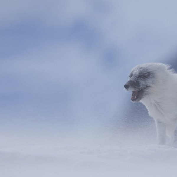
Arctic fox
Carsten Egevang/ARC-PIC.com
Carsten Egevang/ARC-PIC.com
Attention: Click at the table and use the arrow keys on the keyboard to move the table to right or left!
Download this table as CSV
| Description of extreme event | Detecting and monitoring the extreme event itself | Monitoring ecosystem impacts of the extreme event | ||||||||||
| Name | Description | Expected temporal scale of extreme event itself | Expected spatial scale of extreme event itself | Types of impact (and relevant cascading effects) | Definition of extreme event (see also Definition-sheet) | Variable to detect extreme event | Method to monitor (risk of) extreme event itself (if different from detection method) | Suggested background data needed to assess impact on ecosystem/biodiversity (if any)* | Suggested method to monitor impacts of extreme event (if different from or background data are missing) | Expected temporal scale of impact | Priority FECs to monitor | Reference/Links |
| Storms / Cyclones | Extreme winds | Short (< day) | Medium (Several catchments/ < 10 km2) | Destruction of vegetation and habitats | Storm from wind velocities of 24.5 m/s (Beaufort scale) | Dayly wind measurements. Number, wind velocity and direction | ||||||
| Coastal Erosion | Coastal erosion is the loss or displacement of land, or the long-term removal of sediment and rocks along the coastline due to the action of waves, currents, tides, wind-driven water, waterborne ice, or other impacts of storms. | Short (< day) | Large (region/ > 10 km2) | Remove land, and with it, habitats, and its productivity, biodiversity and composition, that may be terrestrial as well as coastal. If errosion leads to flooding by sea, it may cause damage to coastal habitats and (short-term) change in salinity at land, which also may add to the impact on habitats | Removal of land (sand/soil/gravel) (m per year) | Annual remote sensing or ad hoc field observation of erosion prone areas | Remote sensing or field measurements of affected area (size of area) or loss of area (e.g., coastline). | Diversity, abundance, composition, productivity, phenology, spatial structure, ecosystem functions and processes, phenology, demographics, temporal cycles and health for terrestrial and coastal flora and fauna | Monitor in affected and comparable reference area | >5 years |
|
|
 Arctic Council Working Group